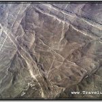
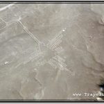
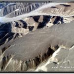
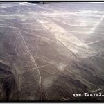
Solar Clock Geoglyph of Palpa

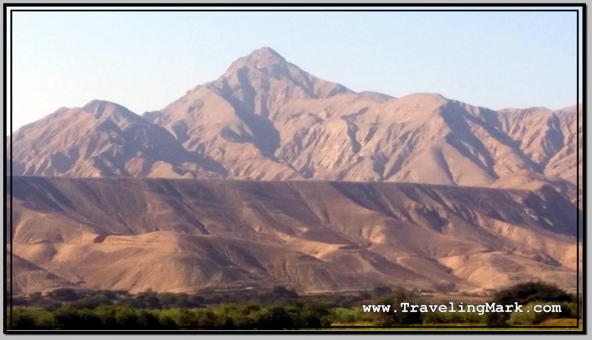
Even though unmarked, I found the way to the Mirador (viewpoint) in “la zona de Sacramento”, located a little over 1 km from the city of Palpa. There was a path that lead me up parched hill with no vegetation and cracked rocks from blasting sun that bakes them with intense force and hardly any clouds to shade them.

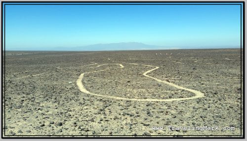
The dusty way up leads around the hill and at first offers no indication of the surprise that awaits a hiker. But once up on the ridge, you get treated to the magnificent view of an enigmatic geoglyph known locally as Reloj Solar (Solar Clock).
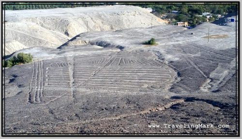
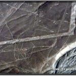
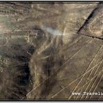
Photo: Aerial View of Solar Clock Geoglyph in Palpa

According to what I found out, based on how a shadow falls onto the lines that represent the Solar Clock at the time of the equinox, would determine whether the harvest in the coming year will be good or bad.

The Ministry of Culture (Mincul) of Peru has found out that on the slopes and plateaus surrounding Palpa, there are at least a thousand pre-Hispanic geoglyphs that were designed centuries before the emblematic Nazca Lines.
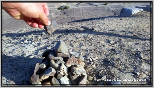
Photo: Adding My Rock to Pile at Mirador - Solar Clock in Background
Photo: Adding My Rock to Pile at Mirador – Solar Clock in Background

The Ministry of Culture maintains that Palpa’s geoglyphs were made by the Paracas and Topará cultures, between 400 AC and the beginning of our era.
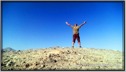
Photo: I Placed Camera Against Rock and Set Timer to 5 Seconds

I walked up to the Mirador, which is a small structure that looks like an open bus stop, and snapped a few pictures of the Solar Clock and the nearby runways from there. The Mirador however is not on top of the hill, but rather just parts way up. I decided to walk all the way to the top.
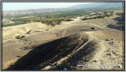
Photo: View of Mirador and Geoglyphs from Top of Hill in Palpa

From there I also got the view of the city of Palpa, as well as the Mirador itself. The cloudless sky that this area is notorious for provided for intense head-bake, so staying for an extended period of time was not too sound, plus it was getting later in the day, so I decided to descend.
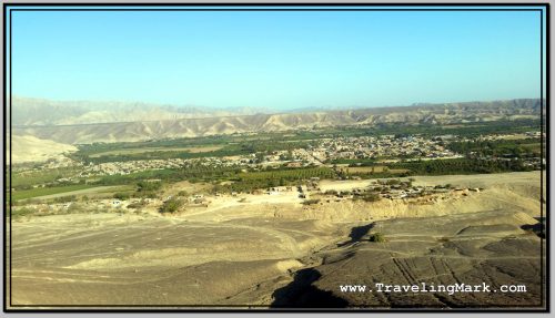
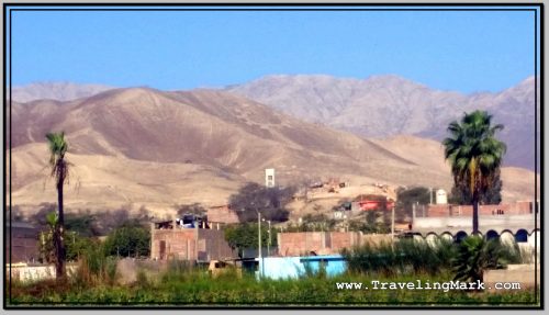
Photo: City of Palpa As Seen from Hill Overlooking Solar Clock Geoglyph

I walked down to the crest where the lines composing the Solar Clock are, and stayed for a bit right beside them to soak up their energy. I then had a brief meditation at one of the runways, and started to make way back to Palpa.
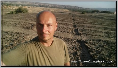
Photo: Getting Really Close to Geoglyph of Solar Clock in Palpa

The whole experience of discovering the geoglyph and being able to get close to it was electrifying. The awe-inspiring, intoxicating aura of the ancient energy lines has left me feeling uplifted and exalted. I will never forget that feeling.
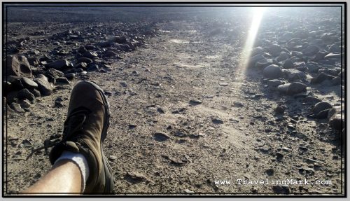
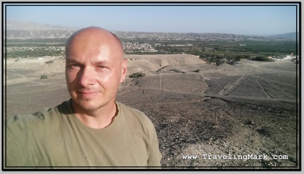
Photo: Brief Meditation at Energy Runway in Palpa

Palpa – Where Geoglyphs Predate Nazca Lines

I have concluded my stay in Nazca with a tour that was a lot of fun, but also a lot of pain. But while there, I found out that in a town of Palpa, which is only about 60km from Nazca, there can also be found geoglyphs which actually predate those of Nazca by estimated 600 to 1,000 years. I had to make a trip to Palpa to check it out for myself.

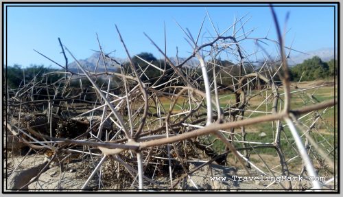
Photo: Spiny Desert Vegetation I Found in Palpa and Nazca

The ride with PeruBus cost only 4 Soles, and whereas the buses for Ica, which pass through Palpa leave from Nazca every 30 minutes, it takes little effort to get to the little town.

In Palpa, I secured myself a room for 35 Soles, and went out to rehydrate and explore the town. It was weekend, so most businesses around the main square were closed, though there was enough activity along the Pan-American highway to buy fruits or grab a lunch.

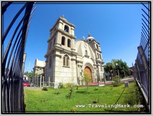
Photo: Main Church of Palpa

The only tour operator I could find in the entire town was closed, so I decided to wander around on my own, hoping I would spot something interesting even without help. The girl who waited in a local restaurant where I grabbed a bite didn’t know a whole lot about the geoglyphs, but I found out that there is a “Mirador” in Palpa, from where it is possible to see something, though she could not tell me what it was. I decided to find the mirador in hopes it would lead me to some of the ancient images.

Photo: Large Geoglyph on Mountain Side in Palpa

Unfortunately I kept getting weird stares from the locals when I asked about the lines, so I ended up walking up and down aimlessly until I finally got on the right track to the Mirador. It was however not anything like that in Nazca. The uphill walk there was however definitely worth it.

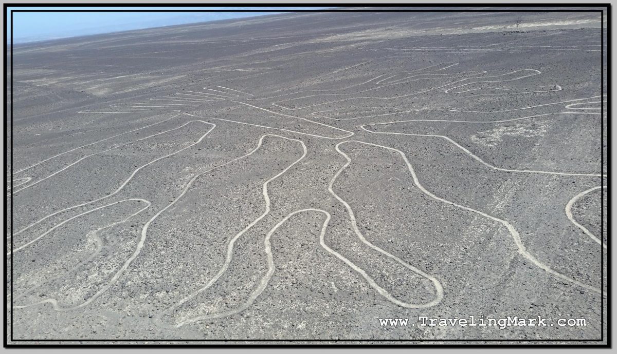
Nazca Geoglyphs of Hands and Tree from Observation Tower

The day after flying over the Nazca lines, I went to the Soyuz bus station to ask if it was possible to take a bus to the “Mirador” – an observation tower made of metal from where two of the Nazca geoglyphs can be observed. The view would not be the same as that from the plane, as it wouldn’t be from directly above, but rather from an angle, but there would be also no moving around the images, so one could really soak up the view, and enjoy the details that can’t be caught during the brief fly over.

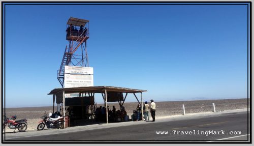
Photo: Mirador, or Observation Towar at Two Nazca Geoglyphs

I wasn’t sure where exactly the Mirador was, nor whether it’s possible to take a bus there, but got good news – the Mirador is right on the PanAmericana Highway, and the PeruBus with the service between Ica and Nazca not only passes by it, it has a stop by it. That meant I passed by it when I was coming to Nazca from Ica without knowing or realizing it.

The bus to Ica, and thus to the Mirador, leaves Nazca every 30 minutes and the trip costs 3 Soles. I bought one and off I went.

It took about 15 minutes for the bus to arrive at the Mirador, which told me the tower was further from the city of Nazca than I thought. The access to the tower costs 3 Soles, and there are several police on site mostly to ensure nobody enters the fields, as it’s now prohibited.

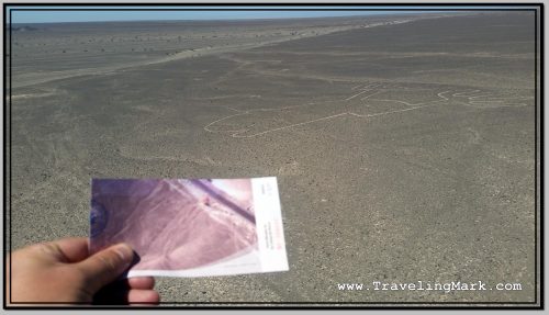
Photo: Geoglyph of Hands with Entry Ticket on Observation Tower

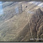
From the tower it is possible to see two geolyphs – Hands and Tree. There is another, less significant image further up from the Tree, which is remarkable by the fact that the highway passes through it and is thus split by the highway.

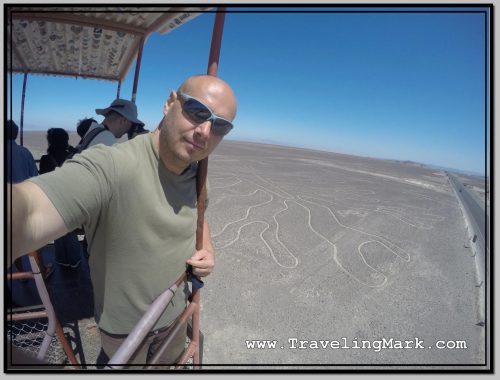
Photo: Selfie from Nazca Observation Tower with Geoglyph Tree in Background

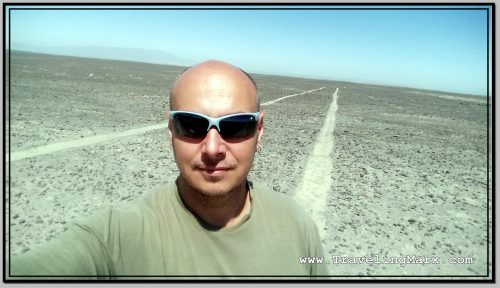
I really wanted to get on one of the energy driveways and soak up its ancient energy, but the police were really strict about not allowing anyone access and when I got close enough to barely snap a selfie with it behind me, they already sounded their whistles.

Photo: Section of Nazca Geoglyph Tree from Ground Level

Having marvelled at the images for a while, I then boarded a PeruBus that just came from the opposite direction and returned back to Nazca.

Photo: Selfie at Nazca Runways

Overall, I thought the trip to the Mirador was worth it when done with a bus. Then it’s not overly expensive and the experience of being so close to two of the main images, and being able to observe their every detail made the whole trip certainly worthwhile. I would recommend everyone visiting Nazca to take the mus to the Mirador, but I would not pay 50 Soles to get there with a taxi.

Video of Flight Over the Nazca Lines with Aerial Views of Geoglyphs

While flying over the Nazca Lines aboard the Aero Paracas plane, I recorded a bit of video with my cell phone, although I mostly used the same phone for taking photos which can be found in this gallery.

The flight consisted of fast swings from one side to another, from tilting sharply to the right to tilting sharply to the left, from moving from one geoglyph to another in order to fit them all into the short flight window, so the opportunities for recording a captivating video were limited at best.

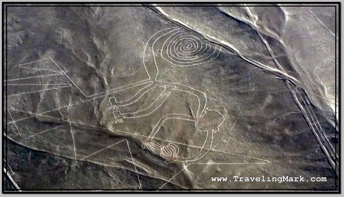
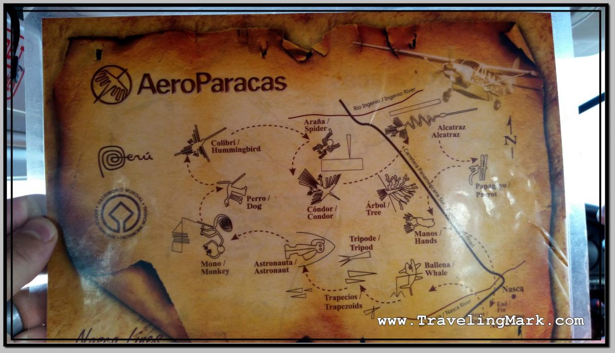
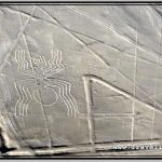
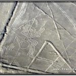
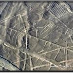
The video contains the take off from the Maria Reiche Neuman Airport with the arid landscape surrounding the city of Nazca, aerial views of a few of the geoglyphs, namely the Astronaut, Monkey, Hummingbird, Spider, Condor, and a whole bunch of energy runways with lesser known images, concluding with the views of the mountains surrounding the geoglyph fields filmed on the return journey back to the airport.

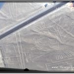
Nazca Lines and Geoglyphs from the Air

The weather in Nazca was great, but that could be expected in the place where it only ever rains in January, February or March. The rest of the year it’s bone dry, which explains why the entire area is either desert, or rigid rock covered dry land on which basically nothing grows.

We took off, and the captain’s assistant informed us that we’ll approach each major Nazca images, from the air and the captain will tilt the plane first right, and then left, so both people sitting on the right and the left get a good view of the geoglyphs. He also informed us that the entire flight would last about 36 minutes.

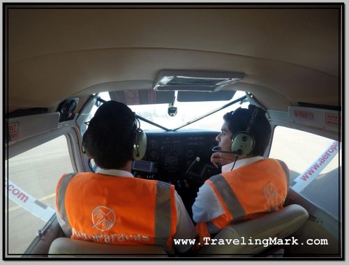
Photo: Captain and Assistant On Board Aero Paracas Plane in Nazca, Peru

The captain did exactly as we were told and took a half circle over each geoglyph with a plane tilted to the right, before doing the same with the plane tilted to the left. This was great for making sure everyone on board gets a good view of the lines, but whereas the low altitude flight in the small plane was already pretty bumpy to begin with, this fast and rapid tilting from one side to the other made for a fast onset of airsickness.

I started feeling it too, but the poor girls who were with me felt it more and quickly went from losing all enthusiasm to take pictures, to grabbing the vomit bags and dumping the contents of their stomachs into them. I felt the whole time like I was never too far from that either, but managed to hold it back with deep breathing. I felt really sorry for the girls. One especially had a very hard time coping with it, which I can imagine totally ruined the whole experience for her. It took her a while to recover even after we got off the plane.
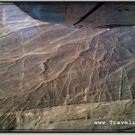
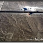
Overall, the flight was amazing and so were the views. The lines extend over a large area, much larger than I thought, and the vastly flat parts containing the images are surrounded by towering vegetation-free hills, making the entire area spectacular to behold. It’s arid, sun fried and wind swept in the most profound ways imaginable.

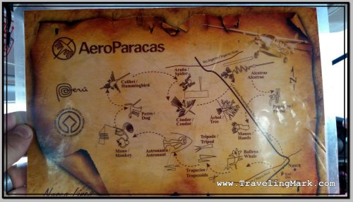
Photo: Map of Nazca Geoglyphs Visited During Flight with Aero Paracas

I was glad I caught the last flight of the day. The sun was lower in the sky, offering a deeper dimension to the experience and a less intense head fry. I had good experience flying with Aero Paracas and would recommend the company to anyone. Their equipment is well maintained, pilots well trained and the staff professional. The flight with them was safe and enjoyable, so I ended up giving the flight crew a tip of 10 Soles.

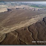
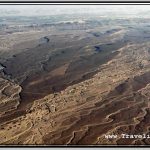
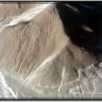
Here’s the gallery of the images I took from the air: