Inca Bridge – Lesser Known Part of Machu Picchu with Views of Hidroelectrica

The Inca Bridge is a rather unamazing secret access route to Machu Picchu. Given that the citadel is visited by thousands of people every day, only a handful make it to the bridge. I went during a break in the rain, which eventually resumed, forcing me to seek shelter for half an hour, but during the entire time I only came across a middleaged couple that paid the bridge a visit.
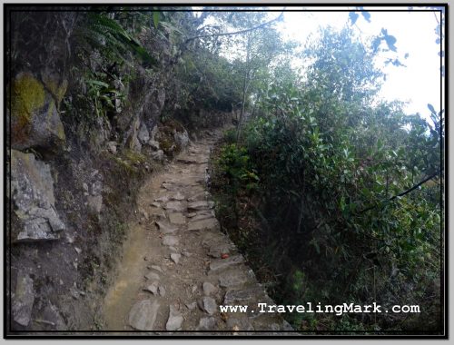
Photo: Trail to the Inca Bridge Is a Stone Path on Sheer Cliff But Seems Safe Due to Foliage or Barriers

The access to the Inca Bridge is by walking up toward the Machu Picchu Mountain – that’s the mountain opposite the Huayna Picchu Mountain, which is the one resembling the nose pointing toward the sky, forming the background to the citadel. Machu Picchu Mountain is taller than Huayna Picchu, but it’s hardly ever photographed because the citadel sits at the foot of Huayna Picchu. Both can be climbed – for a steep fee, of course.
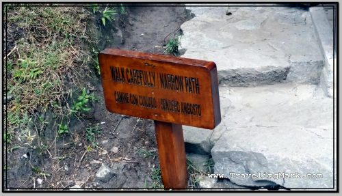
Photo: Inca Bridge Sign Warns to Tread Carefully

Luckily, whereas the Inca Bridge doesn’t draw the hoards of tourists, access to this partially-inspiring feature is free. At least up to my visit is has been. There is however a small wooden hut at the beginning where everyone wishing to access the bridge needs to sign in with their credentials and the time of entry. Then upon leaving, you check out, allowing the wardens to know that you have not fallen off the cliff and they don’t have to send a crew to recover your corpse.
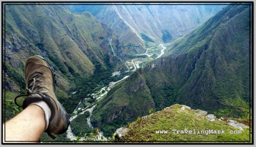
Photo: View of Hidroelectrica from the Inca Bridge

What makes the Inca Bridge partially inspiring is the fact that the trail to it was built into the utterly sheer cliff. The Incas literally had no slope to work with, so they had to take out enough mountain to make the trail a reality.
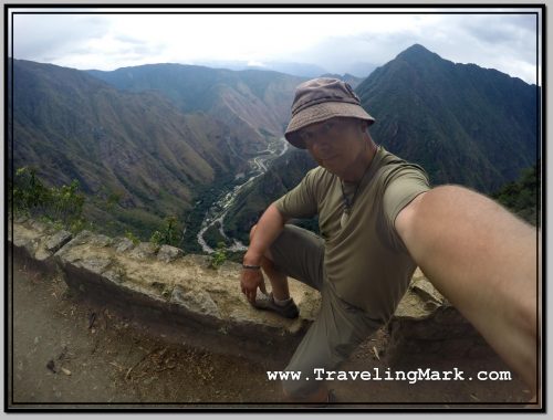
Photo: Inca Bridge Is 2,000 Feet Above River Valley Below

The drops are at times stomach-churning, but the trail is always wide enough to not feel vertigo. Unless you suffer some truly uncontrollable fear of heights, I don’t expect you’d have issues walking the cliff side.
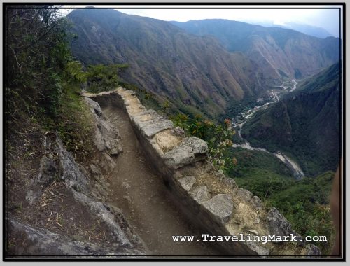
Photo: Side Guards and Restored Walkways Make the Trail Appear Safe Despite Deep Dropoffs

Once you walk around to the back side of the mountain, deep in the valley below you will see the Urubamba River along which you walked (or rode on a train) to get to Aguas Calientes, the bridge that gets you across, and even the layout of Hidroelectrica.
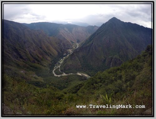
Photo: Bird's Eye View of Urubamba River Valley with Hidroelectrica from the Inca Bridge
Photo: Bird’s Eye View of Urubamba River Valley with Hidroelectrica from the Inca Bridge

The walk is not very long and is for the most part flat with only minimal inclines. It took me about 15 minutes to reach the end, and that’s with frequent stops to take photos.
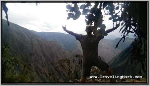
Photo: There Were Hardly Any Other Tourists on the Inca Bridge Trail, So I Could Mess Around with Selfies

Unfortunately, the bridge itself cannot be reached. There is a gate that stops you a bit of a distance before the bridge, but you will still have the views of it from the final stretch of the walkway. But then again – if access to the bridge was allowed, Machu Picchu would be recording fatalities on regular basis, so I see why they would not let tourists on the planks.
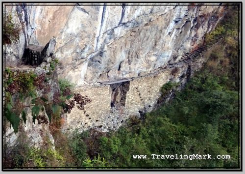
Photo: Gate Seen on the Left Prevents Access to the Inca Bridge Seen in Center

All the Inca Bridge is, is a gap in the stone path traversed by a few planks of wood. This way, if an invading force found the secret access trail and tried to invade Machu Picchu, the inhabitants would just need to drop the planks into the vertical abyss below, or simply raise them, and the crossing over would become pretty much impossible.
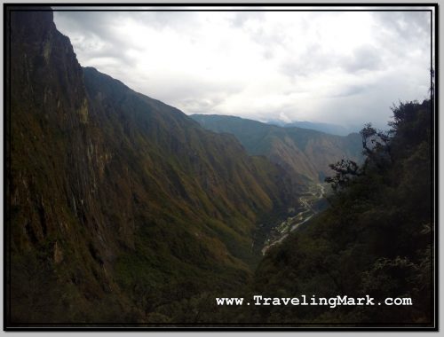
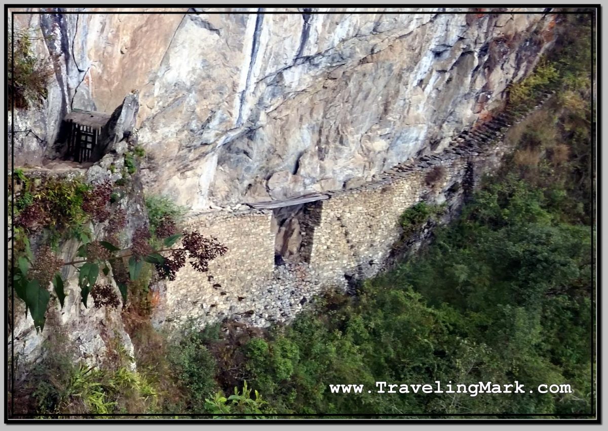
Photo: Wide Angle View of the Vilcanota (Urubamba) River Valley with Steep Cliffs on the Opposite Side of the Inca Bridge

Siem Reap River

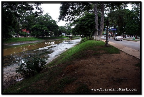
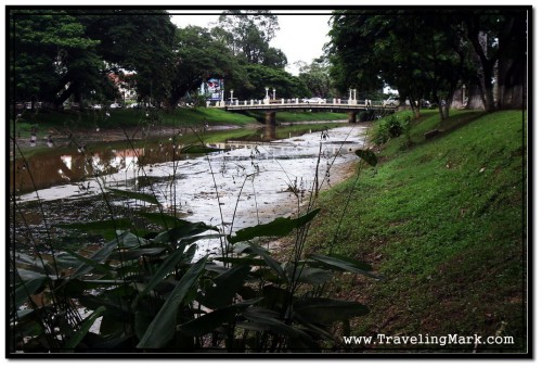
Siem Reap River flows through the town of Siem Reap dividing it from North to South into a West Bank and an East Bank. Most of the things to do in Siem Reap are on the Western side of the river, however East is the backpackers area with budget guesthouses and inexpensive, yet good restaurants. From a standpoint of a backpacker, East side also has laundry services that are priced at $1 per kilo whereas most laundry spots on the West would ask for $2 per kilo or at best $1.50 making it an extremely expensive venture.

Eastern Bank of the Siem Reap River at Wat Bo Area

Two Dragons Guesthouse where I was staying during my first week in Siem Reap was within the budget area of the East of Siem Reap River even though I would not particularly think of it as budget accommodation.

I was in Siem Reap during rainy season by the Siem Reap River seemed slow flowing giving an impression of almost standing still. Waters of the river are murky and it’s very common to see a floating plastic bottle or any other piece of garbage to float on the surface. Cambodians are not clean. Throwing garbage in the river is a common practise, as is pissing and shitting into it. Many people fish on the banks of Siem Reap River and they all complain that there are fewer and fewer fish. Well duh! What did you expect if you merrily pollute your own river like there is no tomorrow and nobody regulates fishing. Overfishing will not give the fish a chance to populate the waters and those who don-t get caught have hard enough time surviving in the water atrociously polluted by both human waste and chemicals.

Water in the Siem Reap River is Dirty. Human and Chemical Waste Pollute the Water Dubbed by Garbage that's Not Bio Degradeable

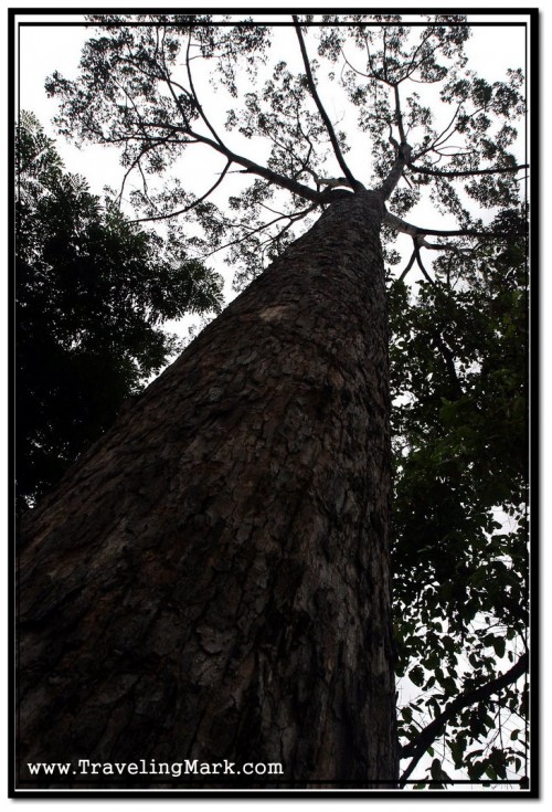
There are huge trees lining the Siem Reap River on both sides which is a good thing. Occasional benches allow for heat weary passer-by to take a breather and hide from the sun in the shade of the trees. There are ongoing efforts to decorate the area around the Siem Reap River and make it more eye popping which I highly approve of, however there should also be far stricter efforts to protect the river itself from its biggest enemy – people of Cambodia.

Photo of Large Tree On a Side of the Siem Reap River

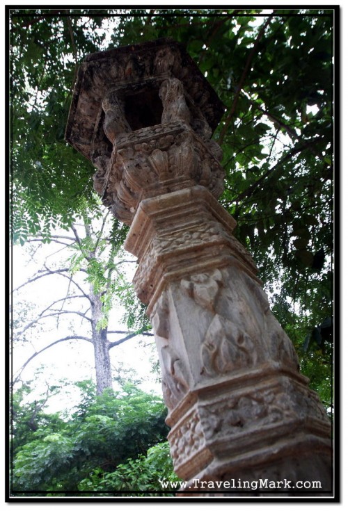
Decorations that already exist along the banks of the Siem Reap River are a solid reminder that nearby Angkor Archaeological Park draws a lot of money to the town by having tourists stay, dine and buy useless junk here. Here’s hoping provincial government will not ignore the signs and will do their best to preserve the environment and save the Siem Reap River before it’s too late.

Decorative Light Posts Like This One Line the Siem Reap River on Both Sides
Angkor Diamond Hotel is Located on the Eastern Side of the Siem Reap River